

Instant Clarity, Superior Accuracy - The DJI Zenmuse L1 delivers a combined LiDAR and RGB solution for aerial surveying by integrating a Livox LiDAR module, high-accuracy IMU, and camera with a 1-inch CMOS on a 3-axis stabilized gimbal. When used with the Matrice 300 RTK and DJI Terra, the L1 forms a complete solution that gives you real-time 3D data throughout the day, efficiently capturing the details of complex structures and delivering highly accurate reconstructed models.
For use on the DJI Matrice 300 series of drones.
Key features of the DJI Zenmuse L1:
-
Integrated System – LiDAR module, 20MP RGB camera, and high-accuracy IMU
-
Exceptional Efficiency – 70° field of vision and visible light camera with a 1-inch sensor
-
IP44 Rating – Operate in rainy or foggy environments, with active scanning to also enable flights at night
-
High Efficiency – Cover up to 2 sq km in a single flight
-
High Accuracy – 5 cm vertical, 10 cm horizontal
-
Point Capture – 240,000 point per second, supports 3 returns
-
Detection Range – 450m (80% reflectivity, 0 klx) / 190 m (10% reflectivity, 100 klx)
-
Point Cloud LiveView - Immediate insights onsite to make critical decisions quickly and verify fieldwork quality after each flight
The DJI Zenmuse L1 is an ideal UAV sensor for deployment in applications such as Topographic mapping, AEC & Surveying, Emergency response, Law enforcement, Energy & infrastructure, and Agriculture & forestry management.
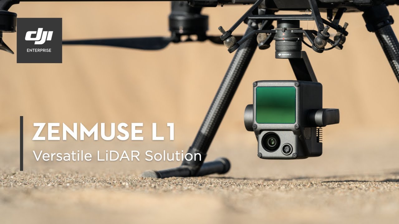

Zenmuse L1
Click on the video menu above to access the informative videos we’ve prepared to introduce you to the DJI Zenmuse L1 sensor. In this series of brief videos, you can gain more insight and information about the value of the Zenmuse L1, including:
-
Overview and purpose of this technology;
-
Core features and benefits provided;
-
Key applications and uses; and
-
Demonstration of its operation and functionality.
We invite you to view these videos and begin to experience the professional power, reliability and productivity of DJI and the Zenmuse L1.
